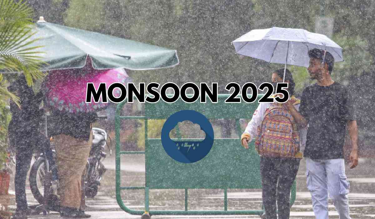

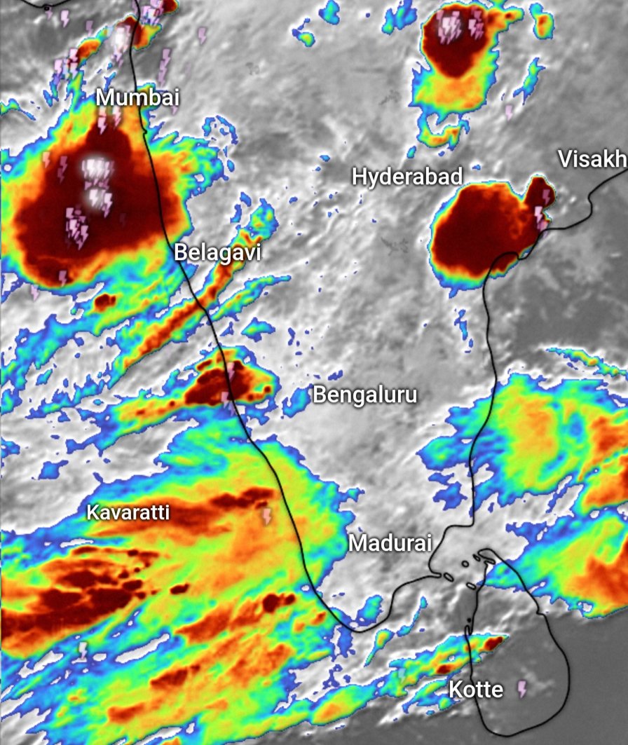
As the Indian subcontinent transitions into the monsoon season, the India Meteorological Department (IMD) has ramped up its weather alerts across several states, warning of heavy to extremely heavy rainfall, thunderstorms, gusty winds, and squally sea conditions. Red and orange alerts have been issued for Konkan and Goa, Mumbai, Kerala, Assam, Meghalaya, Karnataka, Andhra Pradesh, Jharkhand, and Delhi, underscoring a period of intense pre-monsoon activity and early monsoon onset across the country.
- Red Alerts in Konkan and Goa: Torrential Rainfall and Coastal Warnings
The IMD has issued a red alert for Goa, forecasting heavy to very heavy rainfall until Sunday. In the past 24 hours, Goa witnessed intense downpours, with Ponda in South Goa receiving 162 mm, followed by Dharbandora (124.2 mm) and Margao (123.4 mm). Authorities have urged residents and tourists to avoid rivers and waterfalls, with swimming activities banned across all waterfalls. According to State Forest Minister Vishwajit Rane, the waterfalls remain accessible only under forest department supervision.
Fishermen have been warned against venturing into the sea, with squally winds reaching 40–50 kmph, gusting up to 60 kmph, expected along the Goa and Konkan coasts. The IMD's red alert will remain in place until May 25, as widespread thunderstorms and extremely heavy rain continue to impact the coastal region.
- Mumbai and Surrounding Districts Under Orange and Yellow Alerts
In Mumbai, the IMD has placed an orange alert for May 24, predicting heavy rainfall, thunderstorms, and gusty winds of up to 60 kmph. Neighboring districts such as Thane, Palghar, Sindhudurg, and the Ghats of Pune and Satara are also under orange alerts.
Meanwhile, a yellow alert remains in effect for Mumbai, Thane, and Palghar until Tuesday, forecasting light to moderate rain and thunderstorms. In Raigad and Ratnagiri, the IMD has declared orange and red alerts due to the threat of very heavy to extremely heavy rainfall between May 23 and 25.
- Kerala Braces for Monsoon Onset Amid Red and Orange Alerts
Kerala is preparing for the arrival of the southwest monsoon, expected within the next two days, bringing widespread rainfall and surface winds. On Friday, the IMD issued a three-hour red alert for Thiruvananthapuram due to intense rain and winds of up to 50 kmph. Fishing has been banned along the Kerala-Karnataka-Lakshadweep coasts from May 24 to 27.
The Indian National Centre for Ocean Information Services (INCOIS) has forecast high waves up to 3.5 meters along the coast on Saturday. Additionally, orange alerts have been issued in Malappuram, Kozhikode, Wayanad, Kannur, and Kasaragod, where heavy rainfall is expected to continue over the coming days.
- Assam, Meghalaya, and Northeast States See Heavy Rainfall
The IMD has predicted very heavy rainfall in parts of Assam and Meghalaya, aligning with the broader red alert issued for Konkan and Goa. Residents in affected areas are advised to remain on alert and prepare for potential flooding or landslides in vulnerable zones.
- Delhi Prepares for Pre-Monsoon Thunderstorms
Delhi is expected to witness pre-monsoon rainfall and thunderstorms, with partly cloudy skies and gusty winds up to 50 kmph forecast for May 24. The IMD expects:
-
May 24: Thunderstorms and rain
-
May 25–26: Partly cloudy skies with possible thunder and lightning
-
May 27: Rain or thundershowers
This weather activity is part of the region’s early monsoon influence, though extreme rainfall is not anticipated.
- Andhra Pradesh Forecast: Five Days of Thunderstorms and Heavy Rain
The IMD predicts five consecutive days of thunderstorms in Andhra Pradesh from May 23 to 27, affecting North Coastal Andhra Pradesh (NCAP), Yanam, South Coastal Andhra Pradesh (SCAP), and Rayalaseema. Wind gusts could reach up to 60 kmph, with heavy rainfall in isolated parts of NCAP and Yanam on May 27.
Despite the turbulent weather, no major changes in maximum temperatures are expected in Andhra Pradesh and Yanam between May 23 and 29. The state has already received “large excess” rainfall, logging an average of 88.5 mm from May 1 to 21, against a normal of 39.2 mm.
- Widespread Thunderstorms in Jharkhand
In Jharkhand, the IMD has forecast widespread thunderstorms, gusty winds, and below-normal maximum temperatures until May 29. Districts such as Chatra, Garhwa, Gumla, Hazaribag, Koderma, Latehar, Lohardaga, Palamu, and Ranchi are expected to experience surface winds of 40–50 kmph.
An orange alert is in place for the southern, central, and northeastern regions of the state, as large excess rainfall is forecast between May 30 and June 5.
- Karnataka: Red Alerts for Coastal Districts
The IMD has issued red alerts for Uttara Kannada, Udupi, and Dakshina Kannada until May 27, with the possibility of heavy rainfall and thunderstorms. The region, like Kerala, is closely tracking the early arrival of the southwest monsoon.
Maximum Temperature Trends Across India
According to the IMD, Northwest India is expected to see a rise in maximum temperatures by 2–4°C over the next two days, followed by stability. For the rest of the country, no major change in maximum temperatures is anticipated, although localized variations may occur due to thunderstorms.
India on High Alert as Monsoon Arrives Early in Several Regions
With the IMD issuing a mix of red, orange, and yellow alerts across the nation, from Goa and Maharashtra to Kerala, Karnataka, Assam, and beyond, India is bracing for severe pre-monsoon and early monsoon activity. Authorities are urging caution, especially in coastal areas, flood-prone zones, and regions with steep terrain, to mitigate risks associated with heavy rainfall, flash floods, and squally winds.
Citizens are advised to closely follow official weather bulletins, avoid unnecessary travel, and stay indoors during thunderstorms. The next few days will be crucial in managing the impacts of a monsoon that has arrived with both urgency and intensity.
With inputs from agencies
Image Source: Multiple agencies
© Copyright 2025. All Rights Reserved Powered by Vygr Media.