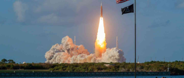

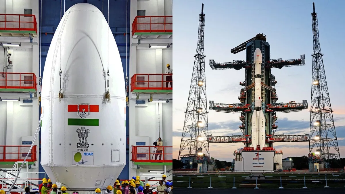
In a landmark moment for international space collaboration, NASA and ISRO are poised to launch one of the most sophisticated Earth observation missions in history — the NASA-ISRO Synthetic Aperture Radar (NISAR) satellite. Scheduled for liftoff on July 30, 2025, at 5:40 PM IST aboard India’s GSLV-F16 rocket, the mission represents a fusion of cutting-edge radar technology, scientific ambition, and environmental stewardship.
Launched from the Satish Dhawan Space Centre in Sriharikota, NISAR is not just a satellite — it’s a symbol of scientific diplomacy, ten years in the making, and a game-changer for how humanity observes and responds to a rapidly evolving planet.
What is NISAR?
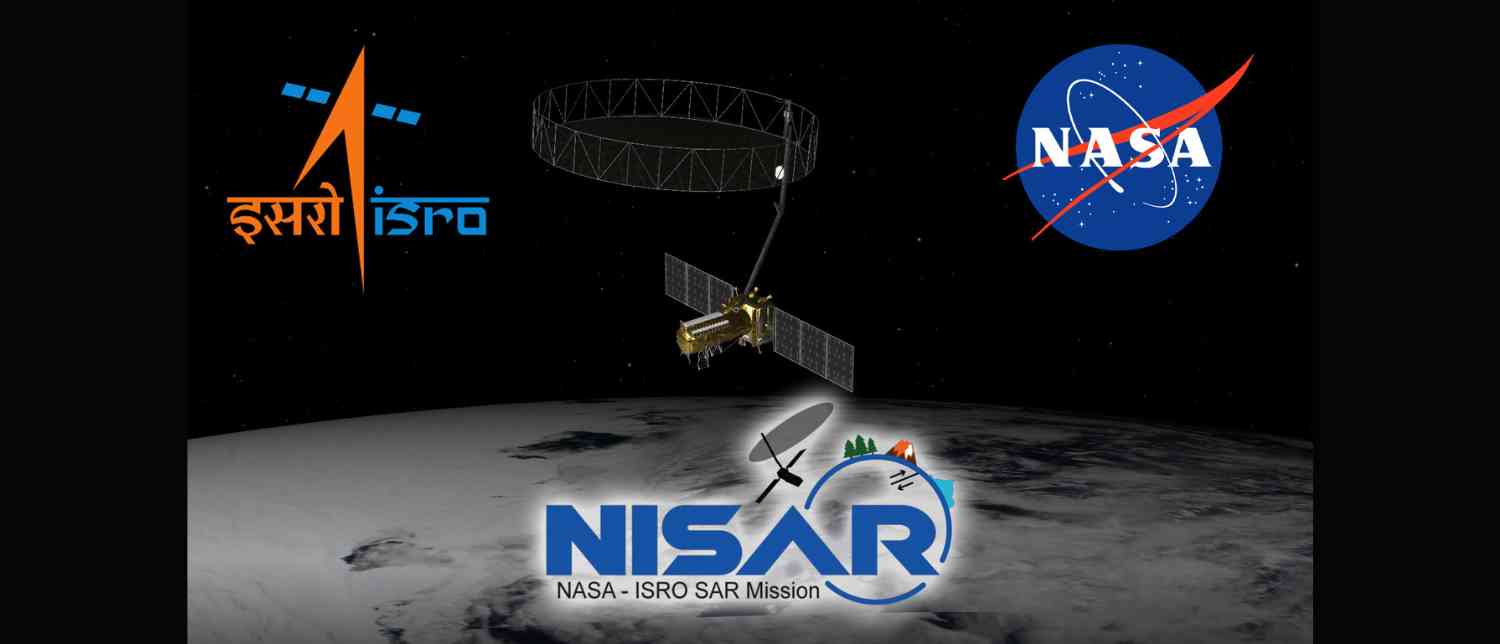
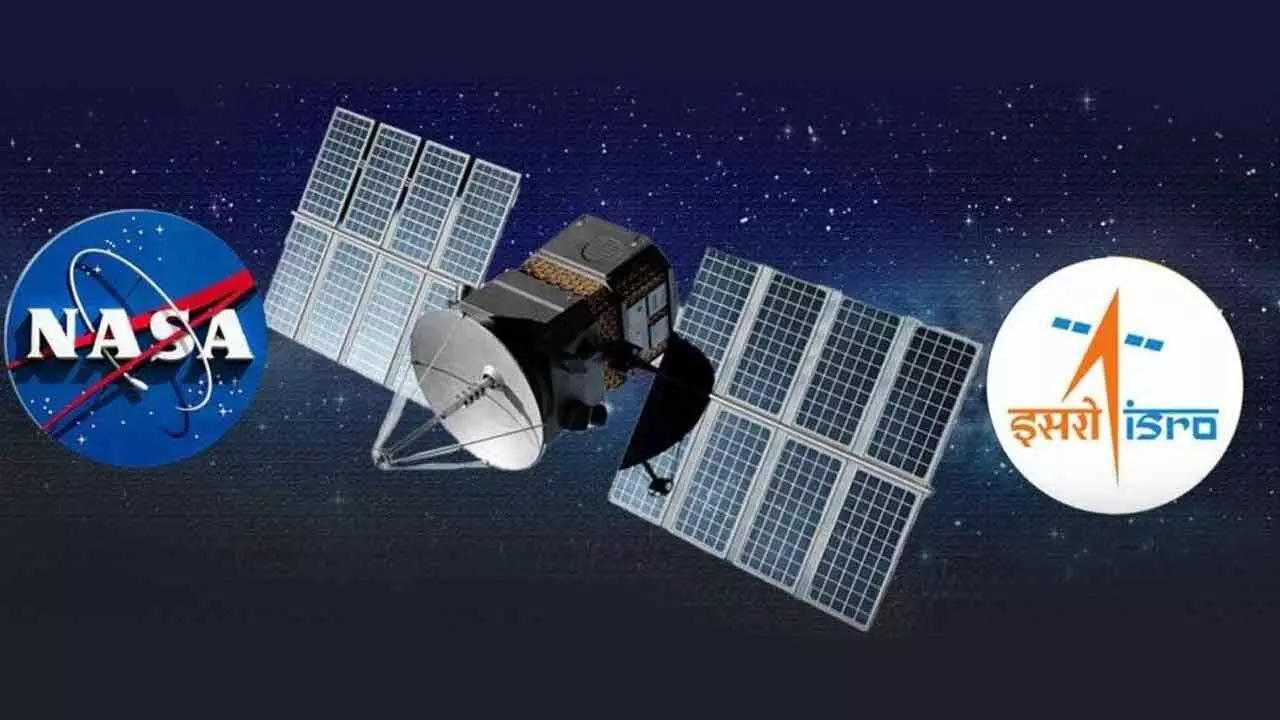
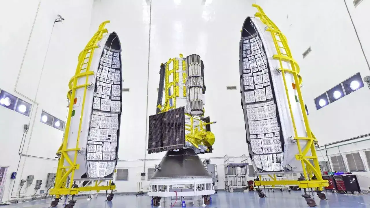
The NISAR satellite (NASA-ISRO Synthetic Aperture Radar) is the first Earth observation satellite to be jointly developed by the United States and India, marking a major milestone in Indo-US space cooperation. Built with a combined investment of over $1.5 billion, NISAR weighs 2,392 kg and is equipped with dual-band radar systems:
-
L-band SAR (from NASA): Capable of penetrating dense vegetation, forest canopies, and monitoring deep-soil movements.
-
S-band SAR (from ISRO): Specially designed for high-resolution imaging of surface-level changes such as infrastructure shifts and agricultural patterns.
This dual-frequency capability gives NISAR unmatched versatility in tracking subtle changes on Earth’s surface — from glacial movements in Antarctica to urban land subsidence in megacities, from forest degradation to disaster zones around the globe.
Launch Details and How to Watch Live
The launch is scheduled for July 30, 2025, at 5:40 PM IST, and will be streamed live on ISRO’s official YouTube channel starting from 5:10 PM IST. The satellite will be placed into a Sun-synchronous polar orbit at an altitude of 740 km, achieving full orbital insertion within 19 minutes of launch.
This orbit allows for consistent lighting conditions, enabling accurate comparisons in Earth observations over time.
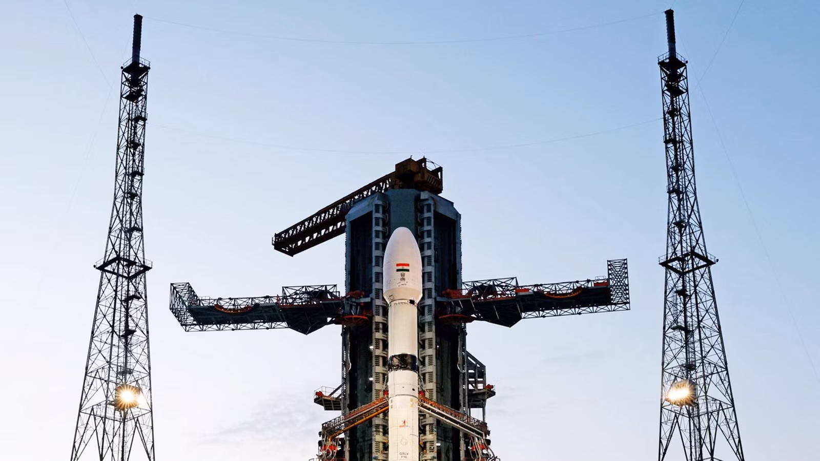
GSLV-F16: A Technological Marvel
The GSLV-F16 (Geosynchronous Satellite Launch Vehicle) is a three-stage rocket with an indigenous cryogenic upper stage, standing 51.7 meters tall and weighing 420 tons. The stages are:
-
Stage 1: Solid-fueled booster for initial lift.
-
Stage 2: Liquid-fueled engine for mid-flight propulsion.
-
Stage 3: Cryogenic engine using super-cooled liquid hydrogen and oxygen for precise orbital placement.
This mission also marks the first time a GSLV will place a satellite into a Sun-synchronous orbit, and it’s ISRO’s 102nd overall mission.
Why NISAR Matters: Key Applications and Global Impact
1. Disaster Management
NISAR's all-weather, day-and-night imaging allows for near real-time monitoring of:
-
Earthquakes
-
Landslides
-
Floods
-
Volcanic eruptions
Emergency responders will be able to map damage, track disaster progression, and coordinate relief efforts more efficiently.
2. Climate Change Monitoring
NISAR will provide data on:
-
Glacial melting in the Himalayas and polar regions
-
Soil moisture and permafrost degradation
-
Sea-level rise and coastal erosion
-
Seasonal forest dynamics
This data is critical for enhancing climate models, assessing carbon storage, and understanding the pace of global warming.
3. Agriculture and Food Security
The satellite can monitor:
-
Crop growth and yield forecasts
-
Irrigation efficiency
-
Soil health and displacement
-
Early signs of drought or land degradation
Governments and farmers will benefit from improved water management and agricultural planning.
4. Urban Planning and Infrastructure Monitoring
NISAR will support:
-
Monitoring of land subsidence in megacities
-
Structural integrity analysis of roads, bridges, and dams
-
Assessment of urban sprawl and development trends
By detecting even centimeter-scale surface deformations, NISAR can help prevent infrastructure failures.
5. Forest and Biodiversity Conservation
Thanks to its ability to penetrate dense vegetation, NISAR is invaluable for:
-
Tracking deforestation
-
Mapping habitat encroachment
-
Studying carbon sequestration in forests
-
Detecting illegal logging activity
Conservationists can leverage this data to safeguard endangered ecosystems worldwide.
Global Accessibility and Open Data Policy
In an effort to democratize access to high-end Earth observation data, NASA and ISRO have committed to making NISAR’s data openly accessible:
-
Freely available within 1–2 days of capture
-
Near real-time access for critical and emergency events
This open-data approach will especially benefit developing nations that lack the resources to launch their own advanced observation satellites. It will empower governments, NGOs, researchers, and industries to improve disaster preparedness, climate adaptation, and sustainable development strategies.
GSLV-F16/NISAR
Today’s the day!
Launch Day has arrived for GSLV-F16 & NISAR. GSLV-F16 is standing tall on the pad. NISAR is ready. Liftoff today.
🗓️ July 30, 2025
Live from: 17:10 Hours IST
Liftoff at : 17:40 Hours IST
Livestreaming Link: https://t.co/flWew2LhgQ
For more… pic.twitter.com/bIjVJTZyMv— ISRO (@isro) July 30, 2025
Development Timeline and Technical Collaboration
The NISAR mission was a decade-long collaboration between ISRO and NASA, with engineers and scientists from both countries working hand-in-hand to integrate complex systems and technologies. Following the launch, a satellite commissioning phase will validate all systems before NISAR begins full-scale scientific operations.
Its cutting-edge radar systems, powered by SweepSAR technology, will cover a swath width of 242 km, enabling the satellite to scan the entire planet twice every 12 days and deliver high-resolution images every 6 days.
The Future of Earth Science Begins Now
NISAR represents far more than just hardware in orbit. It’s a strategic handshake between two leading spacefaring nations, aimed at tackling the most urgent challenges facing the planet today — from climate change and biodiversity loss to disaster mitigation and sustainable development.
As Union Minister Dr. Jitendra Singh aptly put it, the mission marks India’s transition from a utility-based space program to global scientific leadership.
With the imminent launch of NISAR, NASA and ISRO are not just observing Earth — they’re helping shape its future.
Key Highlights at a Glance
|
Feature |
Details |
|---|---|
|
Launch Date |
July 30, 2025 |
|
Launch Time |
5:40 PM IST |
|
Live Stream |
ISRO’s YouTube Channel (from 5:10 PM IST) |
|
Launch Vehicle |
GSLV-F16 |
|
Satellite Weight |
2,392 kg |
|
Orbit Type |
Sun-synchronous Polar Orbit (740 km altitude) |
|
Mission Duration |
Baseline 3 years |
|
Swath Width |
242 kilometers |
|
Revisit Time |
Scans entire Earth every 12 days |
|
Radar Bands |
L-band (NASA), S-band (ISRO) |
|
Data Availability |
Open access within 1–2 days |
As the countdown begins, the launch of NISAR is more than just a scientific milestone — it’s a global commitment to understanding our planet better and acting responsibly on that knowledge. With unprecedented capabilities and a mission grounded in global cooperation, NISAR is set to redefine Earth observation for the 21st century.
Mark your calendars for July 30, 2025 — the Earth is about to get a lot clearer.
With inputs from agencies
Image Source: Multiple agencies
© Copyright 2025. All Rights Reserved. Powered by Vygr Media.