
India’s rapidly growing private space ecosystem marked a major milestone with the successful launch of Mission Drishti, the world’s first operational OptoSAR satellite developed by Bengaluru-based space-tech startup GalaxEye. The satellite was launched aboard SpaceX’s Falcon 9 rocket from California on May 3, placing India firmly at the forefront of next-generation Earth observation technology.
Mission Drishti is being hailed as a breakthrough because it combines optical imaging and Synthetic Aperture Radar (SAR) technology into a single satellite platform — something that has never before been operationally deployed in orbit. The innovation allows the satellite to capture high-resolution images regardless of weather conditions, cloud cover, smoke, haze, or even darkness, addressing one of the biggest limitations in traditional Earth observation systems.
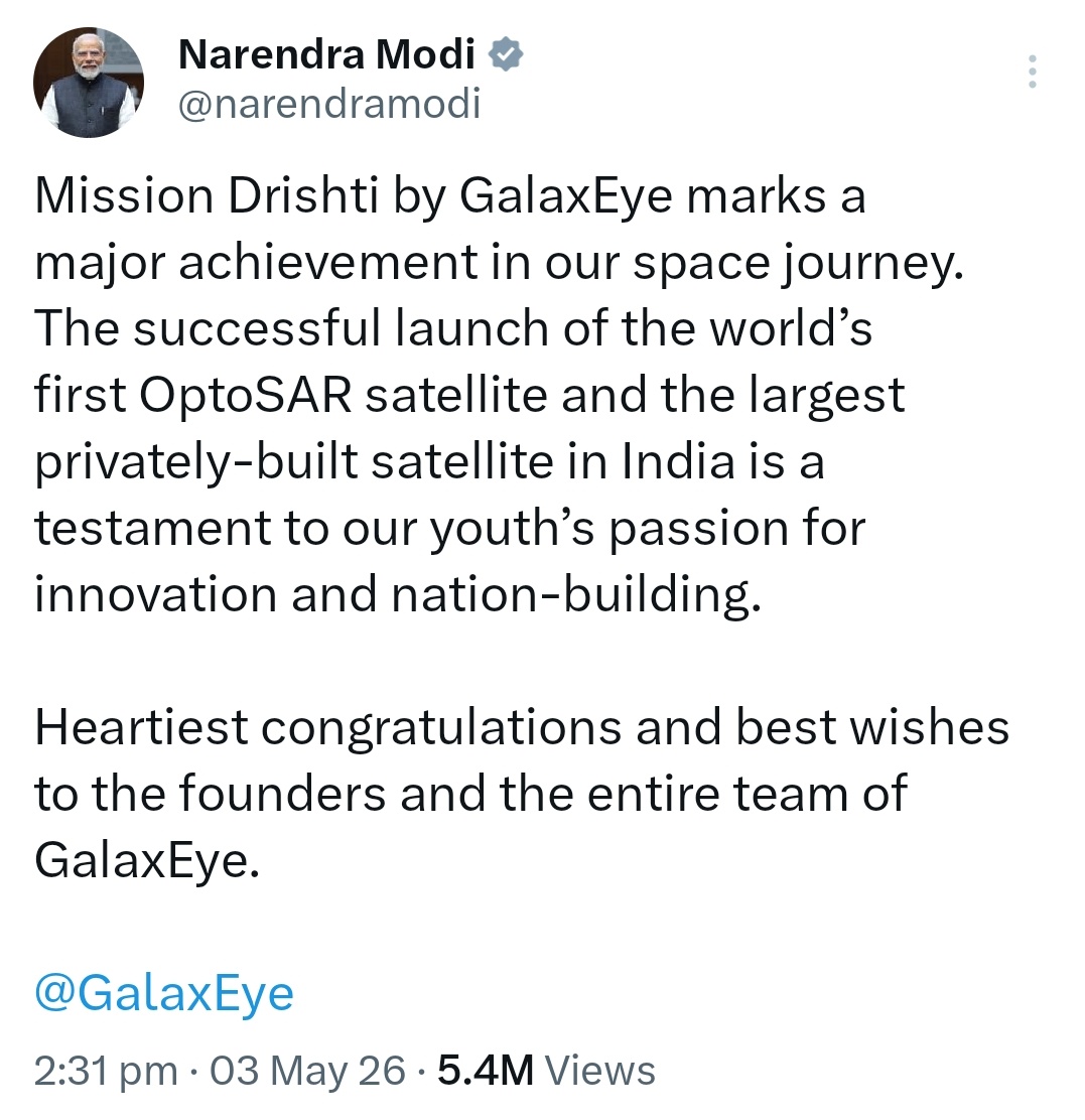
The launch has drawn praise from Prime Minister Narendra Modi, who called Mission Drishti “a major achievement in India’s space journey.” In a statement, the Prime Minister congratulated the founders and entire team of GalaxEye, saying the successful deployment of the world’s first OptoSAR satellite demonstrates the passion of India’s youth for innovation and nation-building.
Union Home Minister Amit Shah also lauded the achievement, describing the satellite as a symbol of India’s technological prowess and an important step toward realizing the vision of making India a global space power.
What Makes Mission Drishti Unique?
At the core of Mission Drishti is GalaxEye’s proprietary OptoSAR technology. Traditionally, Earth observation satellites rely either on optical imaging systems or SAR systems. Optical satellites produce images similar to photographs captured by regular cameras, offering natural color and fine visual detail. However, they struggle during cloudy weather, at night, or under poor atmospheric conditions.
SAR satellites, on the other hand, use radar signals to create images and can operate through clouds and darkness. But radar imagery often lacks the visual clarity and intuitive readability of optical images. Mission Drishti bridges this gap by integrating both technologies on a single platform, enabling simultaneous capture of optical and radar data from the same location at the same time.
According to the company, this fusion enables more reliable and actionable intelligence for a wide range of sectors including defense, disaster management, agriculture, urban planning, climate monitoring, maritime surveillance, and infrastructure tracking.
GalaxEye describes Mission Drishti as the beginning of “a brand new way of seeing the Earth,” where satellite imagery becomes consistently available and dependable regardless of environmental conditions.
India’s Largest Privately Built Earth Observation Satellite
Mission Drishti is not only technologically significant but also historic in scale. Weighing approximately 190 kilograms, the satellite is being described as India’s largest privately developed Earth observation satellite to date.
The achievement underlines the rapid rise of India’s private space industry following policy reforms that opened the sector to startups and private participation. In recent years, Indian startups have increasingly contributed to launch systems, satellite manufacturing, propulsion technologies, and geospatial services, complementing the work of the Indian Space Research Organisation. Mission Drishti is now being viewed as one of the clearest signs that Indian private companies can build globally competitive deep-tech space infrastructure.
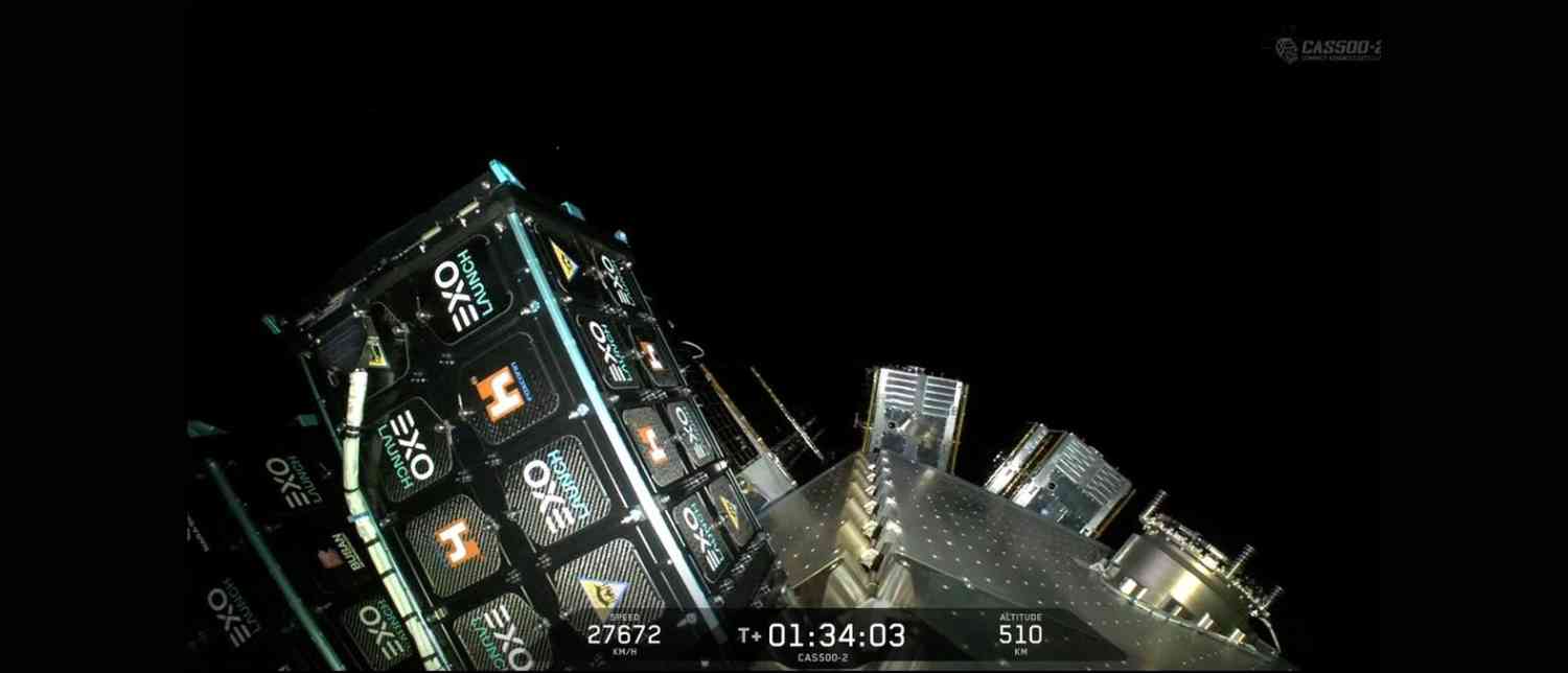
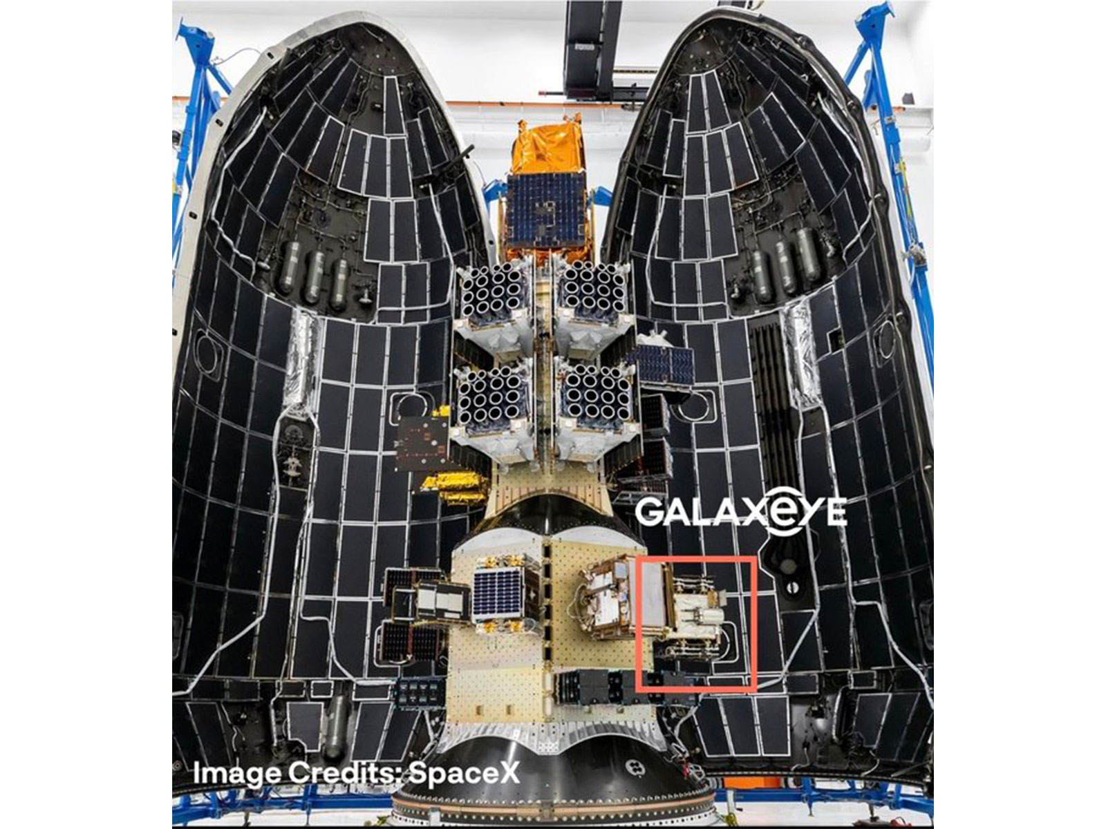
The satellite rode into orbit on a Falcon 9 rocket from the Space Launch Complex-4E in California. The mission represented GalaxEye’s first satellite deployment after more than five years of research and development focused on building integrated multi-sensor imaging capabilities.
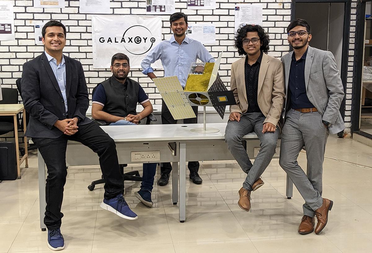
GalaxEye founder and CEO Suyash Singh said the launch marked the culmination of years of sustained work on breakthrough Earth observation technology. He noted that the company is now focused on completing the commissioning phase of the satellite while simultaneously preparing for commercial deployment of its data services.
Why OptoSAR Technology Matters
The significance of OptoSAR lies in its ability to provide uninterrupted geospatial intelligence. Traditional satellite systems often require analysts to combine datasets from separate optical and radar satellites, resulting in differences in timing, alignment, and image consistency. Mission Drishti eliminates that challenge by collecting both datasets simultaneously from the same platform.
The satellite carries both a high-resolution SAR sensor and a seven-band multispectral imaging system. This setup enables richer and more accurate Earth observation data that can be used for precision analytics and real-time monitoring.
The technology is expected to significantly improve applications such as:
-
Border and maritime surveillance
-
Disaster response during floods, cyclones, or wildfires
-
Agricultural crop health assessment
-
Infrastructure monitoring
-
Forest and environmental tracking
-
Urban development planning
-
Climate and weather analysis
Because SAR imaging can penetrate cloud cover and function at night, the combined system ensures continuous observation capability even during monsoons or adverse weather — a particularly valuable advantage for India and other tropical regions.
Industry experts believe the dual-sensor architecture could become the future standard for Earth observation satellites globally, especially for defense and strategic applications requiring persistent surveillance capabilities.
Commercial Rollout and Global Interest
Following the successful launch, GalaxEye has indicated that it expects to begin commercial distribution of satellite imagery within approximately eight weeks after completing the satellite’s commissioning process. The company anticipates that early demand will come primarily from defense and security agencies, although commercial sectors are also expected to become major customers over time.
The startup has already reported strong international interest in the datasets enabled by its OptoSAR payload. The company believes the technology can create entirely new workflows and use cases for developers, enterprises, and geospatial intelligence providers worldwide.
Mission Drishti also positions India more strongly within the fast-growing global Earth observation market, where demand for real-time geospatial intelligence is increasing across industries ranging from logistics and insurance to agriculture and national security.

A Milestone for India’s Startup Ecosystem
Beyond its technical success, Mission Drishti symbolizes the transformation of India’s startup landscape into a serious deep-tech innovation ecosystem. Unlike traditional software-led startups, space-tech ventures require long-term investment, complex engineering, and advanced manufacturing capabilities. GalaxEye’s achievement demonstrates that Indian startups are now capable of building sophisticated space hardware with global relevance.
The mission also reflects the impact of India’s broader policy push to encourage private participation in the space sector. Regulatory support, increased access to infrastructure, and collaboration opportunities with ISRO have enabled startups to move beyond experimentation toward operational missions.
With Mission Drishti now successfully in orbit, GalaxEye has not only achieved a technological first but has also delivered a statement about India’s growing confidence in advanced space innovation.
As countries and companies worldwide race to develop more reliable Earth observation systems, Mission Drishti may ultimately be remembered as the satellite that changed how the world observes the planet — one image at a time.
With inputs from agencies
Image Source: Multiple agencies
© Copyright 2026. All Rights Reserved. Powered by Vygr Media.